


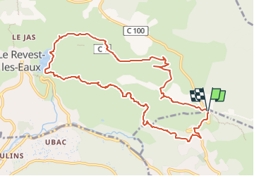


14.1 km | 21 km-effort

User GUIDE


FREE GPS app for hiking
 SityTrail
IGN / Geographical institutes
SityTrail World
The world is yours!
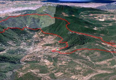
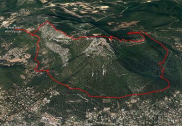
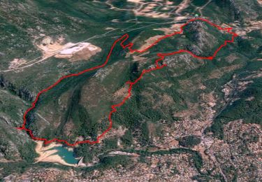
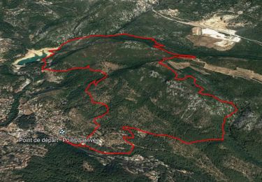
Trail Walking of 11.8 km to be discovered at Provence-Alpes-Côte d'Azur, Var, La Valette-du-Var. This trail is proposed by affinetataille.
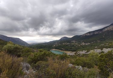
Ballade sur Tourris et le barrage du Revest.
Randonnée prévue pour la semaine dernière reportée à cause de la pluie. Dernière randonnée dans le périmètre des 10 kms.
La prochaine fois on repartira à l'aventure dans des contrées plus éloignées de Toulon.
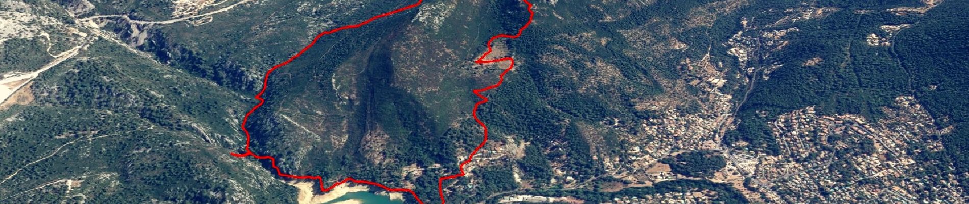
Le barrage est toujours à sec à cause des travaux, mais les pluies de ces derniers jours ont un peu réactivé les sources et l'eau coule à nouveau.
Je suis descendu au plus près pour immortaliser ces endroits qui seront bientôt (18mois) de nouveau recouverts par les eaux.
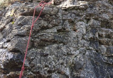
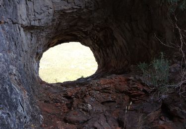
Visite d'une jolie grotte nichée dans les barres du Mont Combe.
Et toujours les incontournables, le ragas, les grottes de sable et le magnifique chateau de Tourris.


25 photos in total. Please click on a photo to see them all in the gallery.
Walking
Walking
Walking
Walking
Walking

Walking

Walking
Walking
Walking